Astronomical Clock at the Cedar River Crossing JCCB Staff
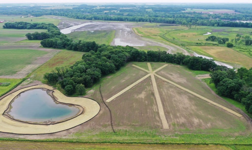
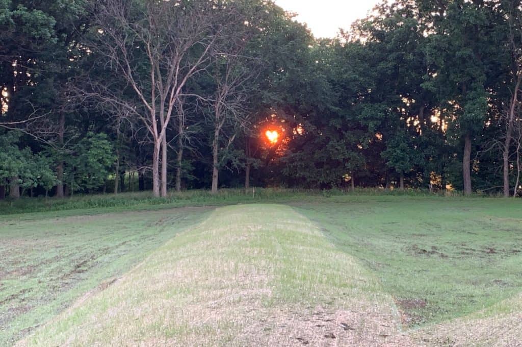
As part of a 226 acre, wetland and savanna restoration project we have constructed an astronomical clock at the Cedar River Crossing area. The lines mark the sunrise and sunset locations on the horizon during the summer solstice, spring and fall equinox and winter solstice. Technically, the lines synchronize the rotating earth with it’s orbit around the sun, facilitating interpretation of migrations, hibernation, the growing season, mating and reproduction cycles and just about everything happening on earth as a result of stellar processes. The pond in the picture serves as a de-nitrification basin, removing nitrates from about 100 miles of tile drainage system, before the water enters the wetlands and eventually the river. The aerial drone photographs were taken by volunteer photographer, Dick Lutz.
Astronomical Clock, S end of Cedar River Crossing
construction in progress.
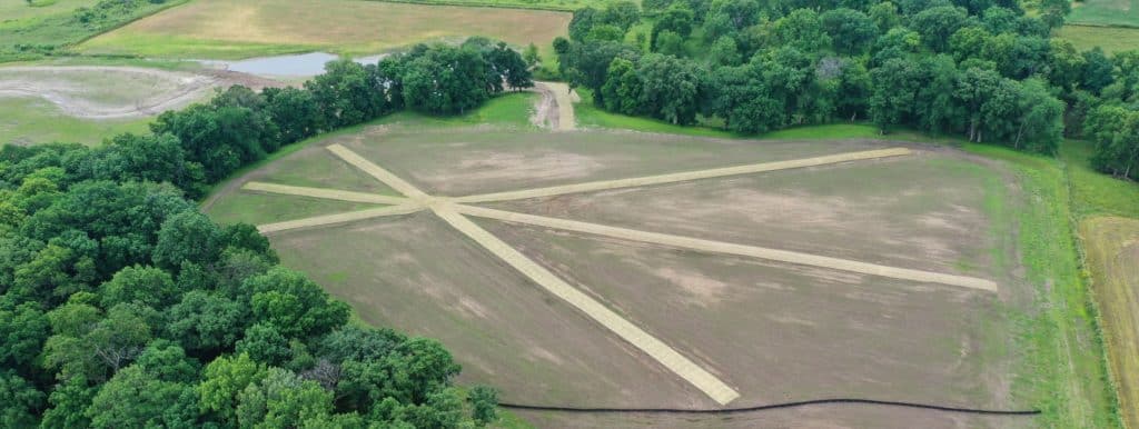
Astronomical Clock, S end of Cedar River Crossing
photo by Dick Lutz
Astronomical Clock, S end of Cedar River Crossing
photo by Dick Lutz
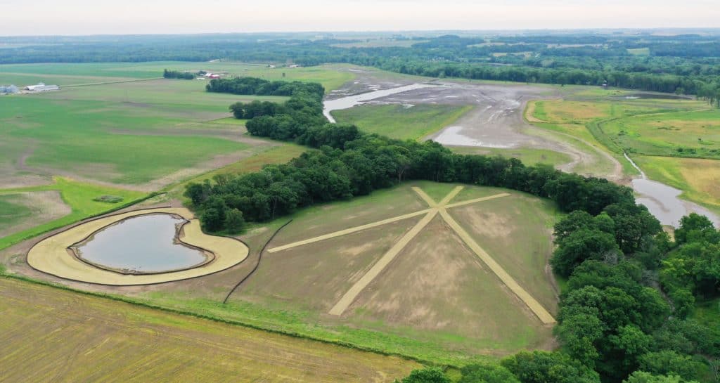
Astronomical Clock, S end of Cedar River Crossing
photo by Dick Lutz
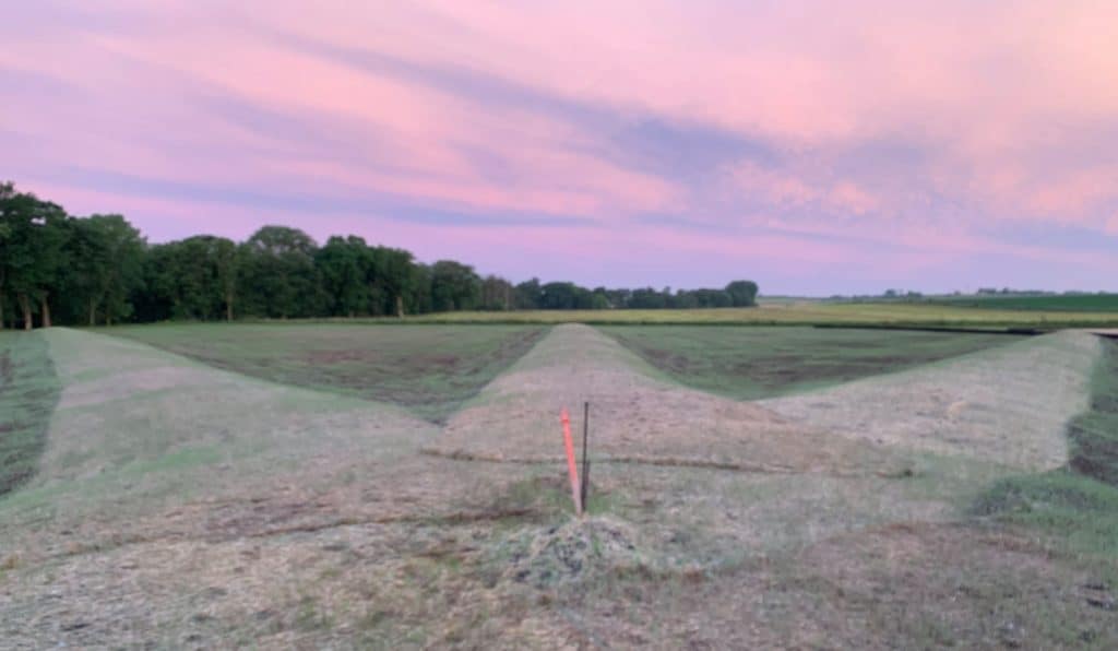
Astronomical Clock, S end of Cedar River Crossing nearly finished
Sunset June 21